CORCEL IS BUILDING AN UPSTREAM PAN-ANGOLAN/BRAZILIAN ONSHORE COMPANY OFFERING INVESTORS EXPOSURE TO HYDROCARBONS AS WELL AS THE ONGOING ENERGY TRANSITION
Operational locations include Angola, Brazil and Australia
Operations + Investments
Western Australia

Kwanza, Angola

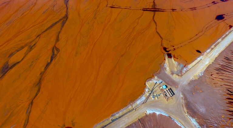
Laverton, Western Australia
Papua New Guinea